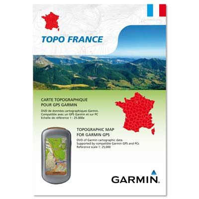
TOPO France Entire Country 2012 v3 Pro | 2.19 GB
Garminovskaya navigation (GARMIN hardware and / or software)
Coverage: Characteristics of digital topographic maps for the whole of France.
FID: FID 2554
Description: Offers regional and country coverage of the whole of France on DVD and preloaded MicroSD ™ / SD ™ Card
Display of vector topographic maps of 1:25,000 scale data
Includes new ActiveRouting ? functionality that offers personalized and innovative route planning tips for easy travel
Includes search for businesses NAVTEQ points of interest (POI), such as museums and theaters, as well as an additional database of POI, including restaurants, hotels, gas stations, recreational information (paths, trails, shelters, etc.) and more
Displays routable roads, trails and roads in urban and rural areas to reach their destination easily, creating a point-to-point routes on compatible devices
Show contours and a digital elevation model (DEM) data
The mapping of local parks, forests, and recreation and wildlife area boundaries, as well as hiking trails FFRP, FFC bike trails and mountain huts
Includes BaseCamp ™ pre-loaded software that allows you to plan trips on your computer and transfer routes and waypoints from your PC to compatible devices
? ActiveRouting supported BaseCamp for Windows / Mac and Montana ™, GPSMAP ® 62, and Oregon ® x50 series.
TOPO France is intended for use in Europe. All materials and data cards available in French and English.


